







WW2 US Invasion of Guam Topographic Map April 1944
$400.00
Excellent, Very Good ConditionLogin or Create a free account to save this item to your Wishlist!
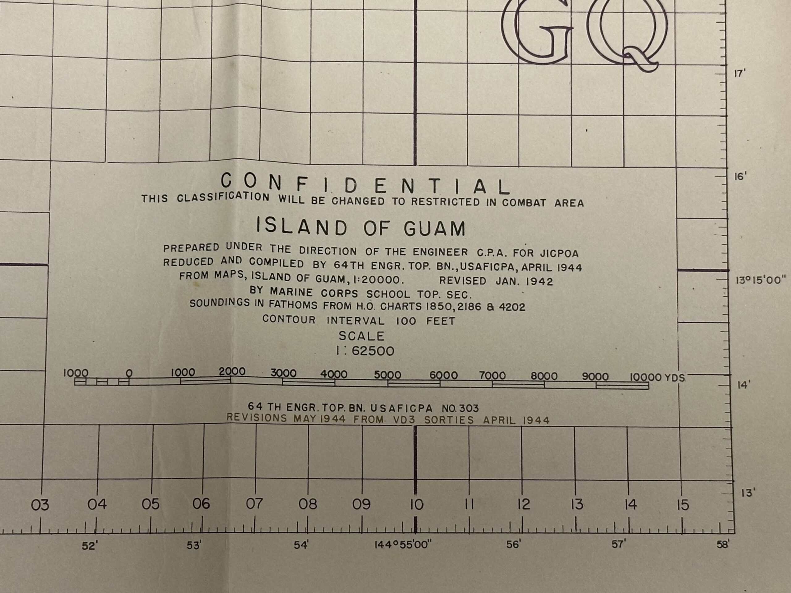
This is a very rare April 1944 produced topographic map for the entire island of Guam.
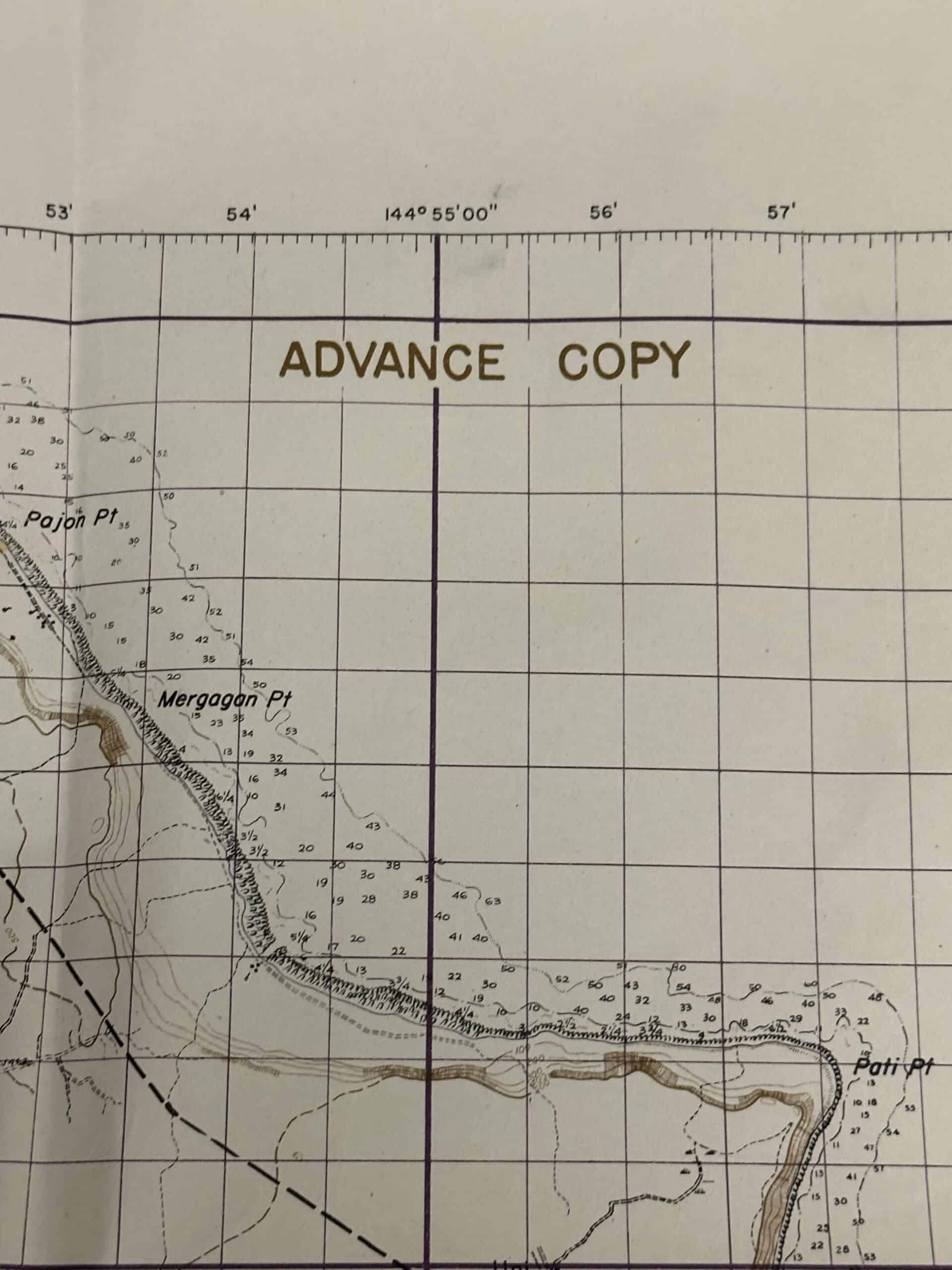
This is obviously an invasion map designed for use on the ground by unit commanders and NCO’s. It covers every square meter of the island.
We have highlighted photographs of the two invasion beaches, one in the north and one in the south.
As you can see this map was printed in April 1944. The invasion began in July 19 44. Invasion with a combined operation of US Marines and the US Army.
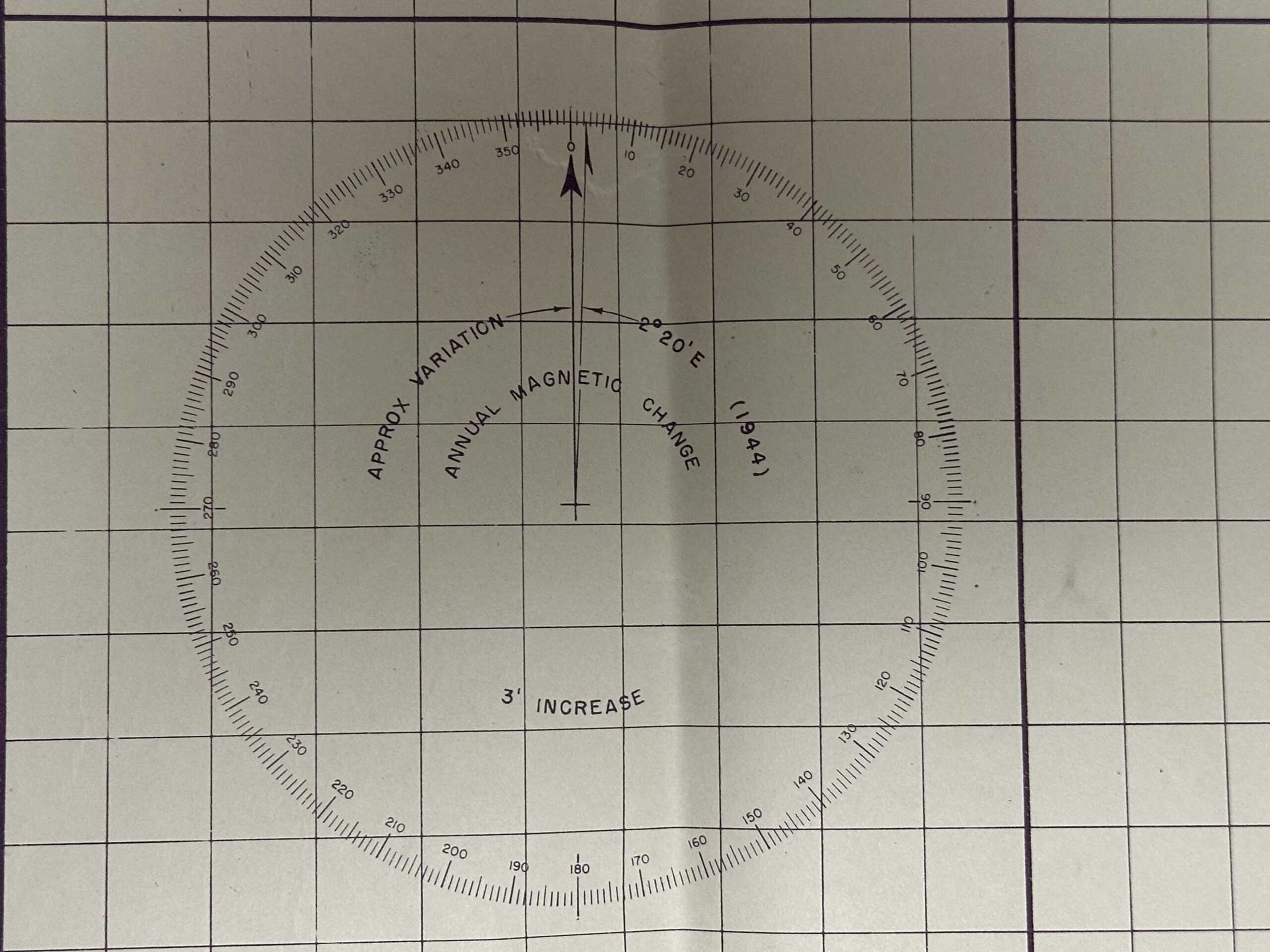
The two large circles on the map are used to convert from a magnetic compass reading to a map reading. This is known as a declination diagram.
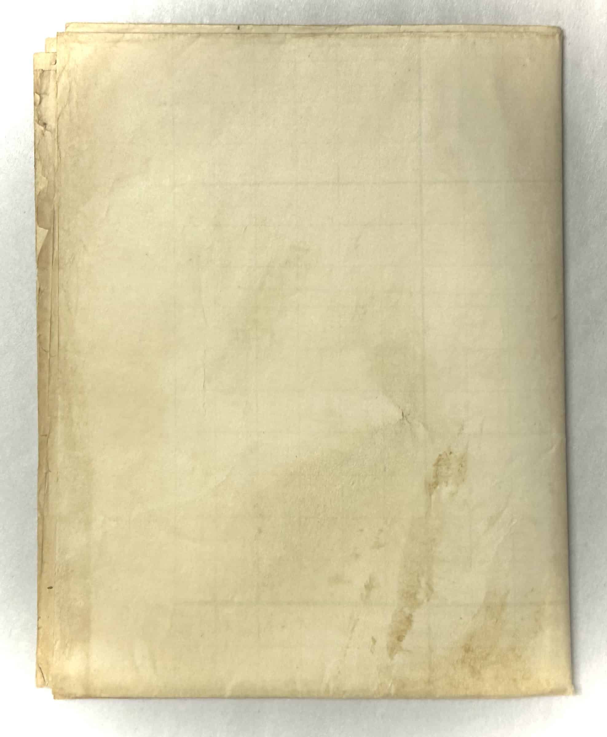
This map is neatly folded just as it was in April 1944 so it would fit inside the US Marine Corps or US Army map case. When landings occurred, unit commanders didn’t always know exactly where they would be on the island over time. So, they were provided a large overview-type map such as this one to be used through throughout the entire campaign.
This map measures approximately 39” x 29”.
Have a question about this item? Ask us anything
Why buy from Enemy Militaria?
• Lifetime authenticity guarantee.
• 30-day return policy.
• We've been collecting and selling militaria since the mid 1970s.
• Our online store has been in business since 2017.
• We accept credit cards & mailed payments.
• We ship worldwide - shipping rate will show in your cart before you pay.
• Enhanced staffing for fast shipping.
• We are veteran owned.

